Finally, I re-implemented a feature of the old OpenStreetBrowser which I was especially proud of (although it's rather easy to implement): The Wikipedia integration.
Many OpenStreetMap features have links to Wikipedia articles and images. In the detailed view, OpenStreetBrowser will show the first paragraph and the first image of this article - in your preferred language (to be exact, the "data" language - you can set it in the Options). It loads the list of availble translations from the Wikipedia article itself.
Also, if any images can be found, these will be displayed.
The following tags will be parsed:
- wikipedia: Language code and title of a wikipedia article, e.g. "en:London Bridge".
- xxx:wikipedia, where xxx is an arbitrary string (e.g. "subject", "artist", "building") describing an aspect of the map feature. Example: If a memorial remembers a person or an event, you could use subject:wikipedia. The main "wikipedia" tag should only point to the article which describes this object.
- wikipedia:language code, e.g. wikipedia:en. These tags are deprecated, and should not be used. Also, please don't point to translations of the Wikipedia article, Wikipedia has this information anyway. Don't duplicate this effort (which is deemed to become out of date).
- image: A reference to a wikimedia commons image (either via "File:foo.jpg" or the complete URL to the description page) or an URL of an image.
- wikimedia_commons: A reference to a wikimedia commons image or a category (all images will be shown).
- wikidata: A reference to a wikidata entry, which itself points to a wikipedia article and wikimedia commons images.
- xxx:wikidata: Like xxx:wikipedia, a reference to something related to this object. Only Wikipedia articles will be shown from such references, not images.
Additionally, there's a "Wikipedia" category under "Special", which shows all map features with a Wikipedia / Wikimedia Commons link. It can also be used as QA tool for OpenStreetMap, as potential tagging errors are highlighted.
Example (the place Vienna in three languages):
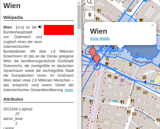 Vienna (german) |
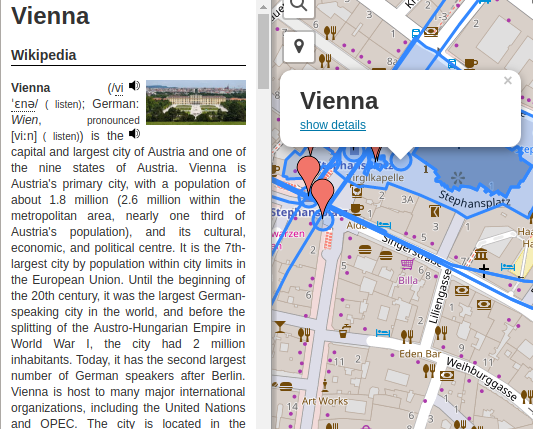 Vienna (english) |
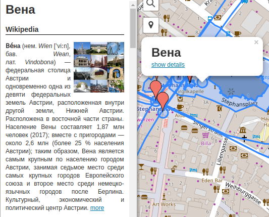 Vienna (russian) |