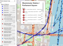
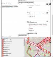
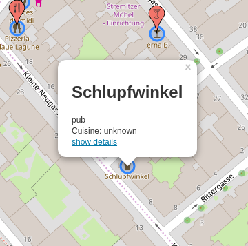
OpenStreetBrowser became more intelligent :-)
OpenStreetBrowser is built from a bunch of modules (e.g. LeafletJS, TurfJS, ...; see the full list) - as most current web applications are. A few of them are written by me (e.g. overpass-layer). And one of them - overpass-frontend - has just gotten more intelligent.